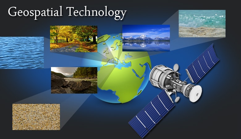
Geospatial
The most effective decisions are always made using accurate, high quality data and that’s what Jasper delivers.
Geospatial solutions from Jasper provide you with the expert data collection, management, and analysis that drives the highest quality projects across numerous disciplines – from C4ISR, manufacturing, industrial, energy, Army, Air Force and Navy development and more Our leading edge approaches and technologies for data collection, processing, and management ensure highly accurate solutions that allow you to overcome complex challenges with confidence.
